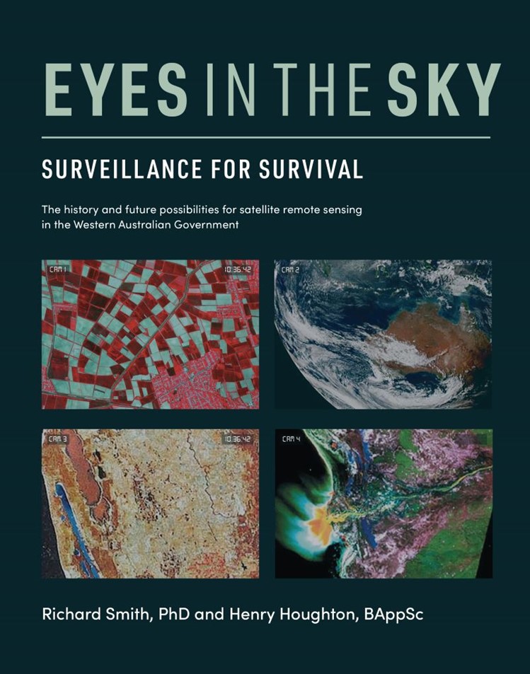
Surveillance for Survival, by Henry Houghton and Richard Smith, Green Hill Publishing, 2021
 Henry Houghton, past Director of Mapping and Surveys and Surveyor General of Western Australia, and Richard Smith, Earth Systems Scientist, coauthored this copiously illustrated history of satellite imaging and interpretation particularly focussed on Western Australia.
They tell of the early days and development of the science and technology, which is in itself fascinating to science professionals and laypersons alike. ‘Make do’ solutions and interaction between world agencies to make this new 1960’s technology accessible to the public led to expertise in interpreting sometimes obscure data for the benefit of planners, agriculturists, mineral exploration and the general public, spinning off the back of early weather surveillance satellites. This history is recounted in a way to interest both the professional and general reader.
Perhaps the most compelling narrative running through the book is the way economic considerations override the invaluable, but maybe not as easy to quantify in return for dollar, long-term ecological implications of the Earth observations from space. This led to the Leeuwin Centre for Earth Sensing Technologies and other scientifically valuable consortia being closed even with very successful contributions to the science, after relatively short existence (less than 25 years for Leeuwin Centre), and the government of the day having no compunction in deconstructing the satellite imaging centre attached to Department of Land Information.
This is astounding given that 92% of Western Australia is Crown Land for which successive governments have management and sustainability responsibility.
The book describes the advances in data interpretation and the increasing value of this technology and the importance it has toward our responsibilities as guardians of our planet. Colour and black and white images together with graphs and tables help tell this story. Pioneers in sustainability science are quoted giving support to the importance of the dissemination of satellite data to a wide and diverse audience.
Following brief overviews of the task of writing and publishing the book from both Richard and Henry, Professor Peter Newman launched the book in July at All Saints Floreat Uniting Church, with observations on the value satellite imaging lent to town planning and the lived environment, together with obvious benefits to our society overall. It was refreshing to see the interest of both a church and secular audience welcoming the work of Richard, a Uniting Church Lay Preacher, and his long-time colleague, Henry Houghton in this interesting and vital field.
Eyes in the Sky: Surveillance for Survival is available at All Saints Floreat Uniting Church for $30 pickup, or can be mailed to you plus the cost of postage. Call 9387 6371.
Geoff Schupp